
Below is an extract from the 25-inch Ordnance Survey Map of Batley, revised in 1905, and published in 1907. It shows the location of St Mary’s Church, Presbytery, convent and the school buildings.
It can be viewed alongside the other maps in this section of the St Mary’s one-place study to compare changes over time.
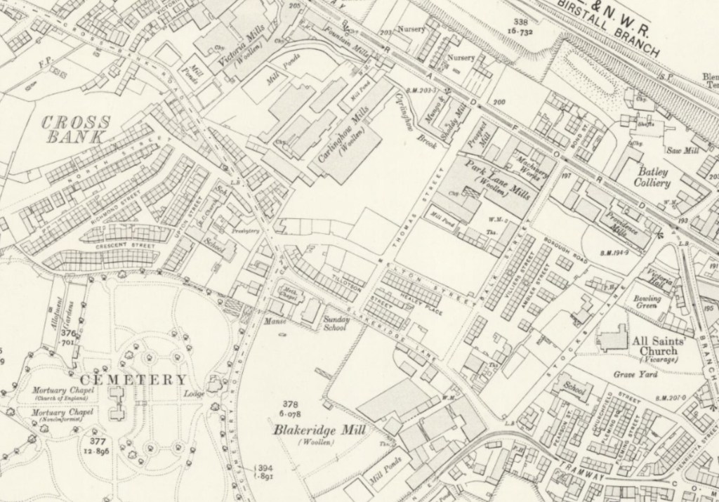
OS 25 Inch 1841-1952.
Re-use: CC-BY (NLS)
